- Home
- Forums
- Ride Reports
- MotoBikes
- Restorations
- Wrenching
- 1963 BMW R69s
- 1969 BMW R60/2
- 1978 Yamaha 125
- 1979 KZ1300
- 1979 Kz1300 - Bob's Beauty
- 1981 CBX SuperSport
- 1981 Kz1300 Model A3 - Chocolatie
- 1984 Ford F250 XL
- 1987 ATK
- 1987 MowieMowie
- 1987 RotoTiller
- 1988 Honda Accord Lxi
- 1990 BMW RT100 - Barrie
- 1991 Harley Davidson FLHTCU
- 1992 Johnnie Deere
- 2000 YZ426
- 2002 Dodge Ram
- 2006 Carson RacerX Trailer
- 2006 Host Camper
- 2006 KrZy8
- 2007 Wabs
- 2012 KTM 690R
- 2013 Naomi - FJR 1300
- 2014-08-01 Air Compressor - Sears
- 2017 Kioti
- 2018 Toy Hauler
- 2020 Honda Fit
- 2021 Miscellaneous
- 2024 Log Splitter
- 2024 NeoDyne MC Lift
- 2050 test
- Lil Trlr
- Eats
- RIP
- PC Not
- Cages
- Test
- FJRF Best
- For Sale
Candy Butt Association
World's Wimpiest Riders
You are here
2017-12-10 Morro Bay, San Luis Obispo, Pozo, FAA Radar Station

Forums:
2017-12-10 Morro Bay, San Luis Obispo, Pozo, FAA Radar Station
Short on words RR tonight. Got stuff to do. Surgeon appt tomorrow, ~8 weeks after full knee replacement.
Forst stop, post office box. 10k check to Scotties Work Shop for BMW engine rebuild. GASP!
Yes, when a right knee is fragile, parking parallel to the curb is a great idea for easy dismount and mount....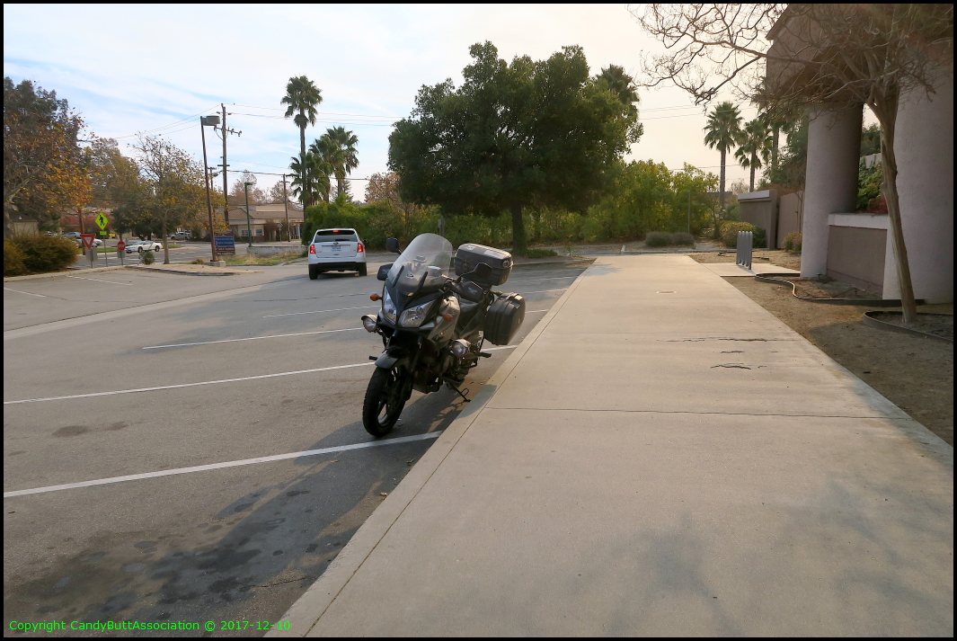
First stop, Morro Bay. Smoke from Santa Barbara but more from Ventura fires...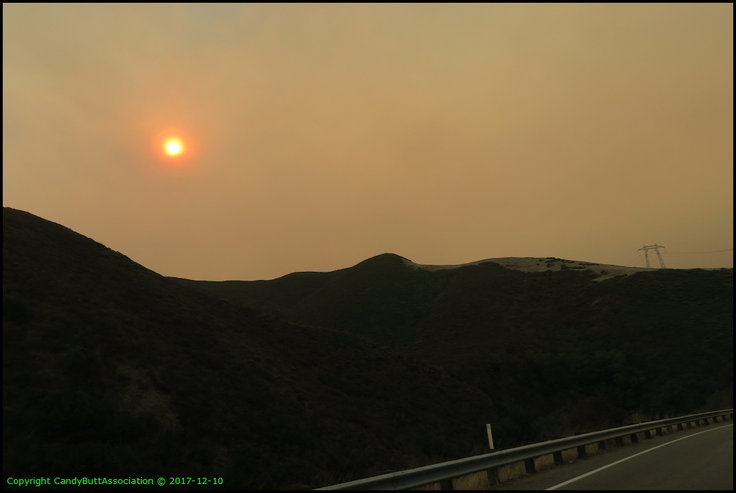
The original plan was to ride to Jalama Beach. But... the farther west and south, the worse the smoke so screw that plan.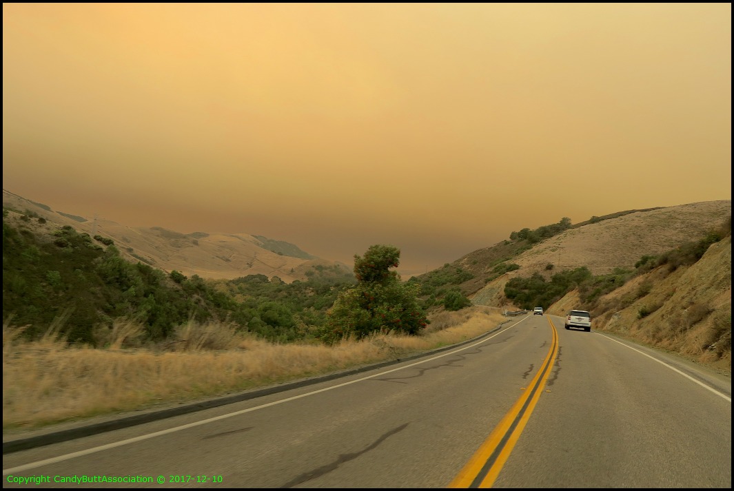
The further West, closer to Morro Bay, the worse the air quality..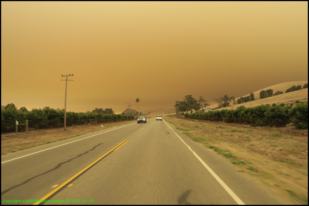
Morro Rock. The smoke does make good pictures..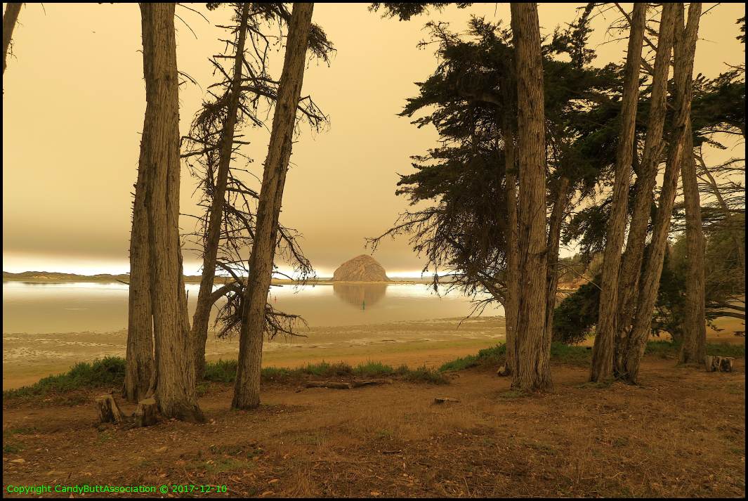
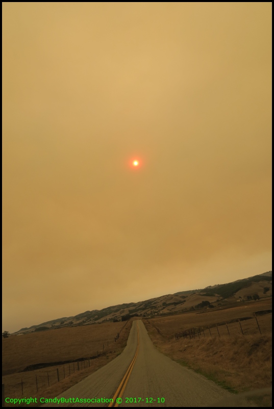
Turri Road, shy of Los Osos and headed to San Luis Obispo (SLO).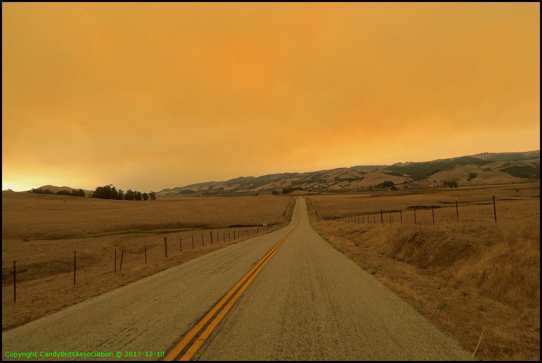
Jumping forward. SLO to Pozo, CA then up the hill to the radar station. From ocean to highest local point. Why not?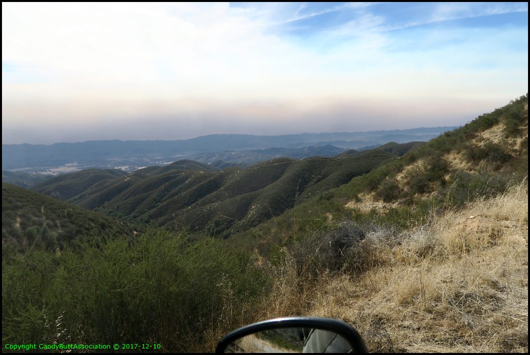
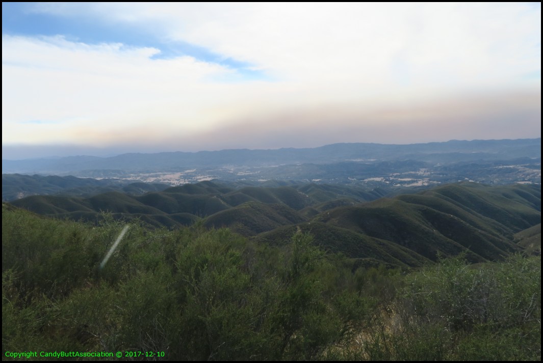
The smoke line in the valley is one mountain range away from Morro Bay.. perspective for non-local peeps.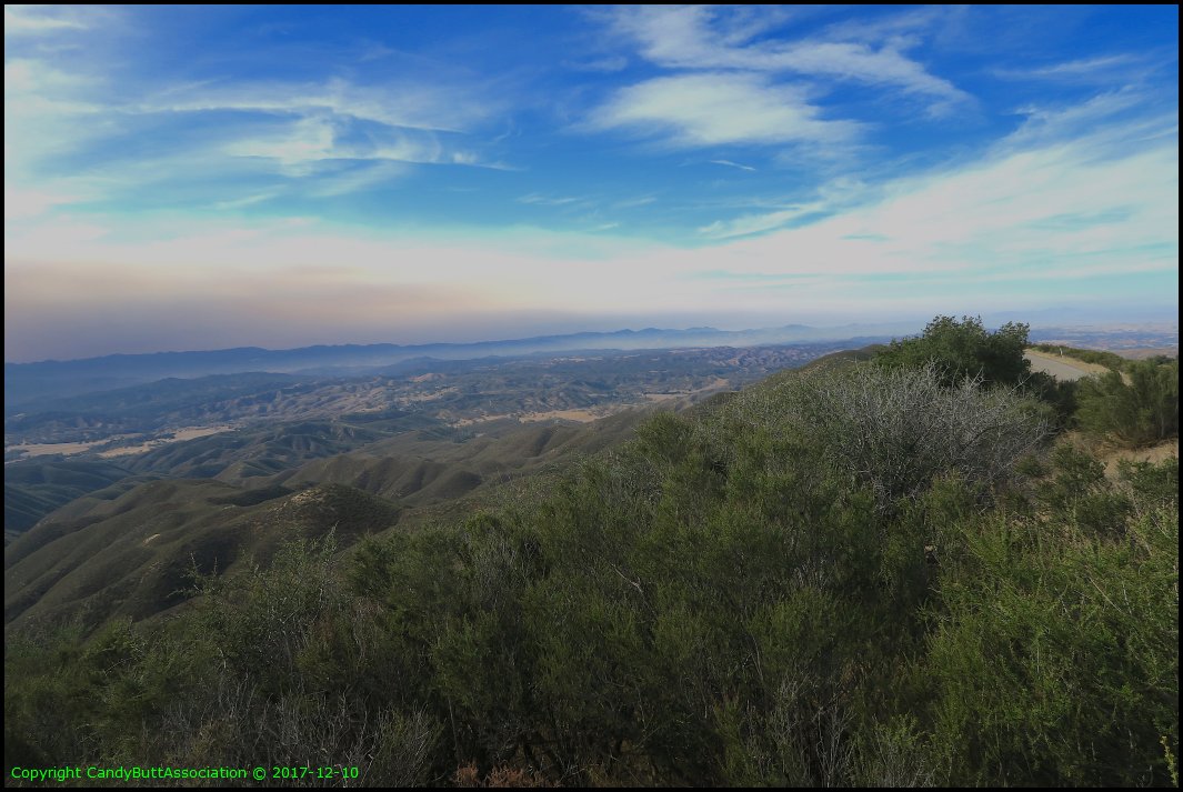
The FAA radar station. In the mid 1980's my bud Charlie Dorsey and I took my F250 up here after a bunch o' beers. The guy actually let us behind the locked gate and gave us a tour of the radar station. It was chock full of big 1950's and 60's era radar screens. Driving those screeens were a huge number of vacuum tubes! Since I know tube theory, I started talking to the resident technican. He expalined one of the big issues at that time was voltage flucations, causing aircraft elevation data loss. The fluctations were from both the huge Air Conditoner tonnage to keep the equipment cool and... wait for it.. the rock and quarry operation about 15 miles away!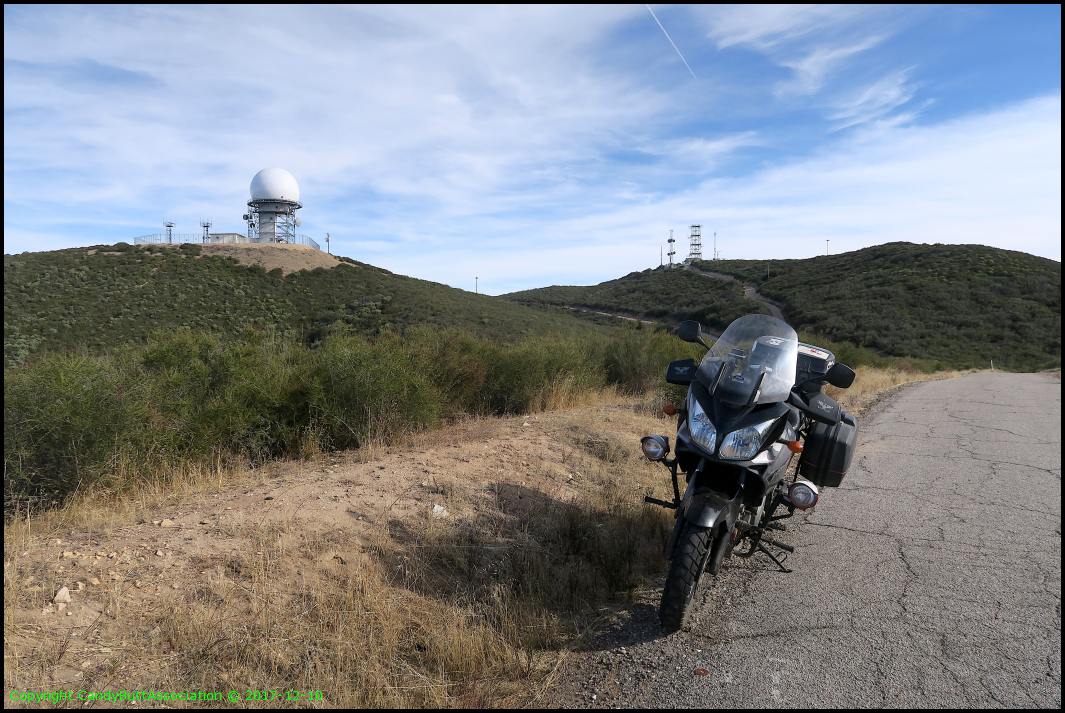
I have no sense of direction. I can see the radar dome from the Hondarosa. Just don't ask me where the Hondarosa is from here...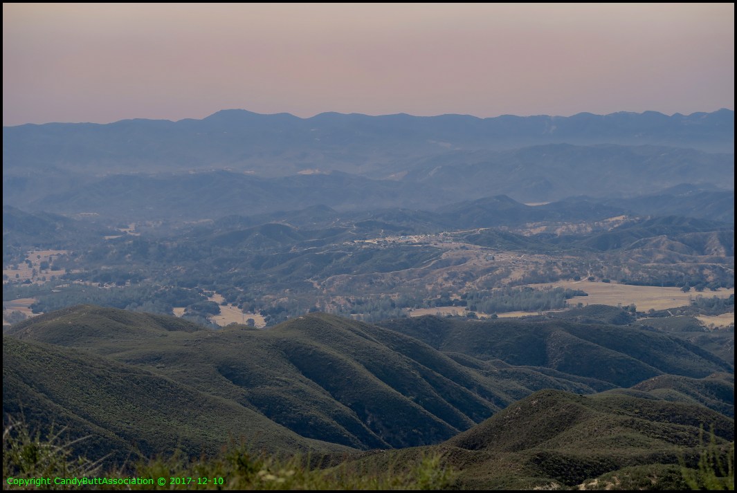
It's a 7 mile goat road from Turkey Flats to the top. Your FJR can make it. It just won't be a nice ride. The pavement has pretty serious 'water shed depressions' which bottomed the Vstrom when the pilot was gawking at scenery.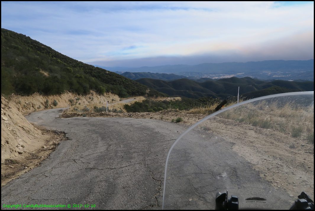
That's right. No guard rails. No stripe. On a bike, stay right.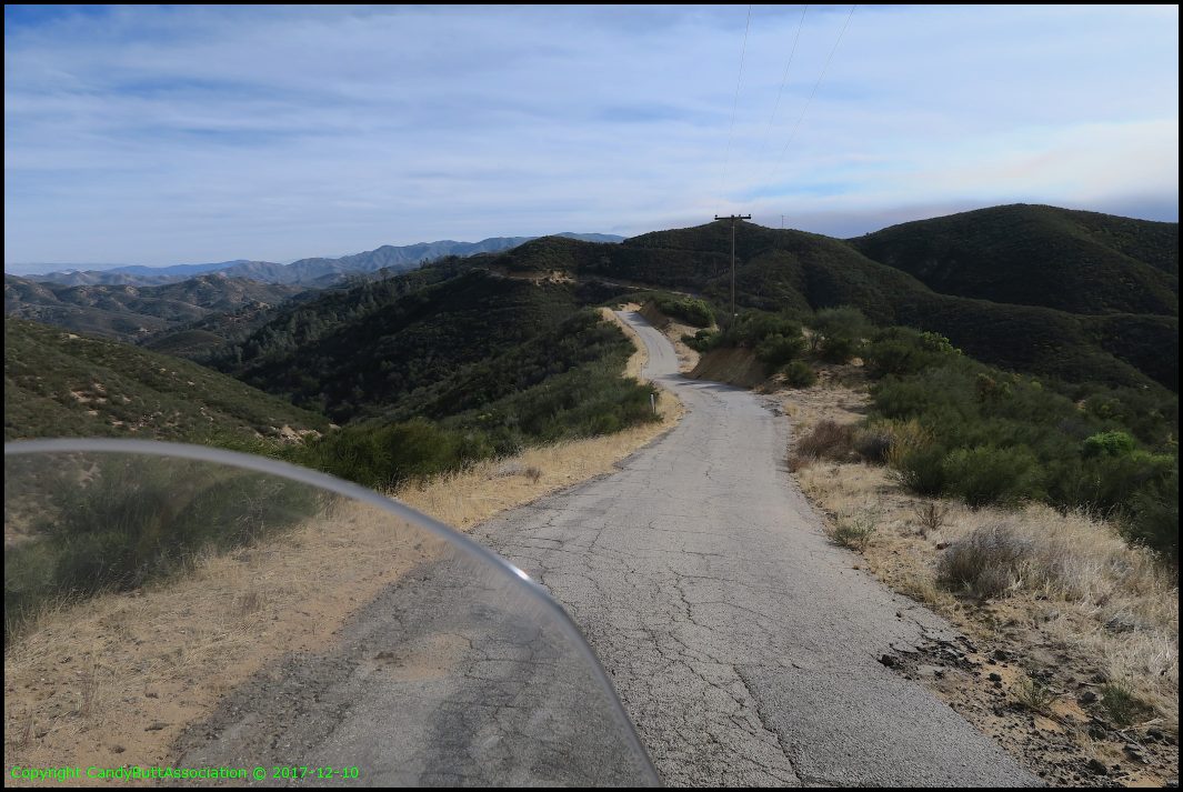
This is an OHV area. Many dirt trails lead to this road. But you have to have a plate to be legal...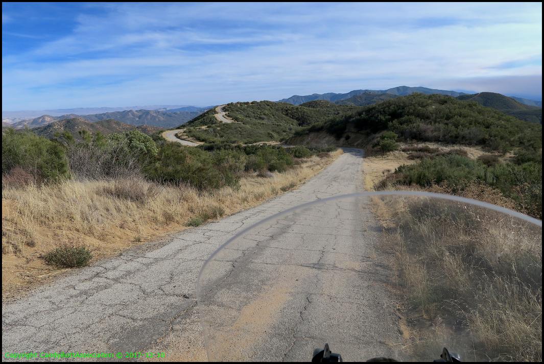
Off the hill, heading home. The knee is talking to me. Pozo saloon. Since late 1800's. Now closed. Not sure why. I know Rhonda Beanway, who along with hubby run it. I read Rhonda wasn't doing well, health wise. I hope either she improves or sells it to someone wanting to keep the heritage alive.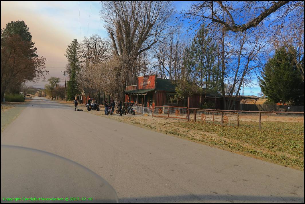
Approximately 40% of roads today were too narrow for legal roads hence no center stripe or were dirt.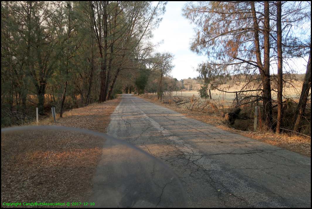
Deceiving road. It looks packed, but is not. In some spots, 3" deep.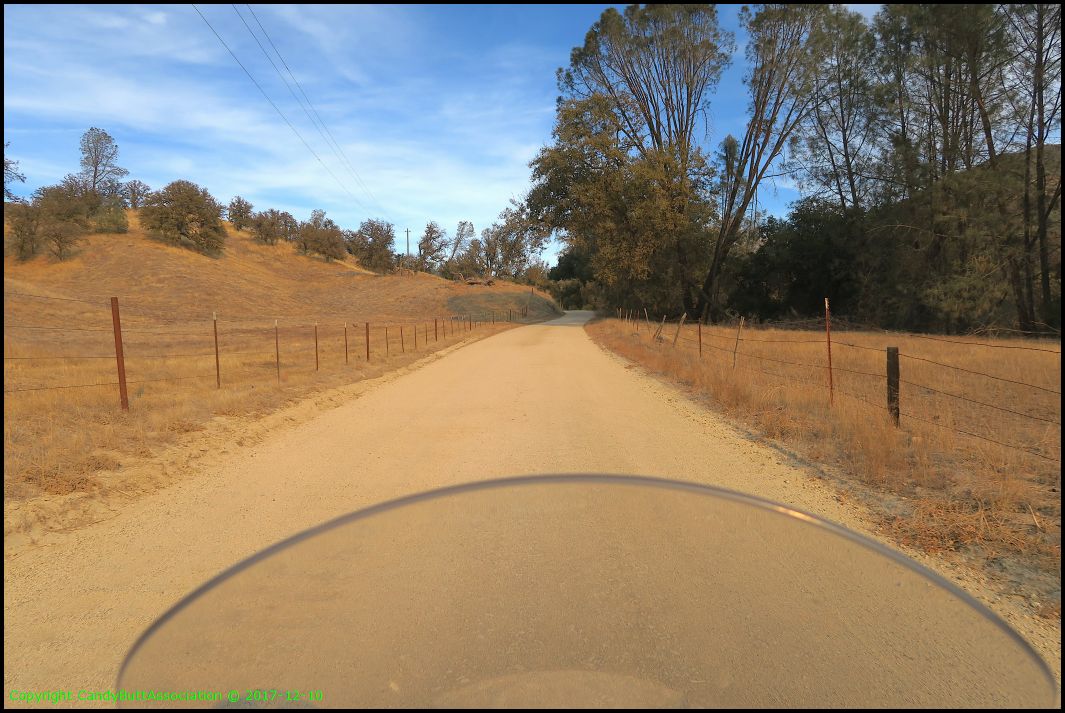
My Zumo 550 was recently repaired and it's very nice not to use the Sena20S, iPhone6 for Sirius tunes. Most of the area I rode today? No signal.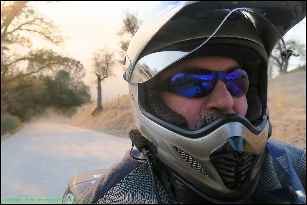
This dirt road is called 'River' Road. Along this road is the Toro Creek ranch which held a motocross... and I broke my femur..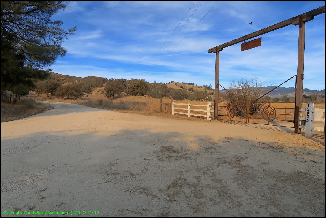
Sorry, out of order but so what. A pano shot from back on top of the hill at the radar station.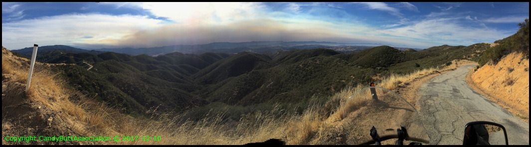
I see what happened.. these were iPhone pix, not Canon G7X so the order is incorrect. Oh well.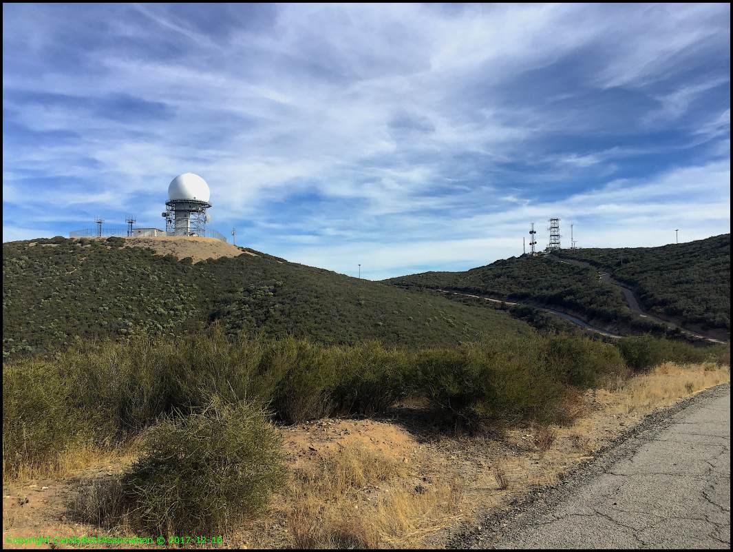
Perhaps my favorite pic of the entire day. Hope, opportunity, even healing?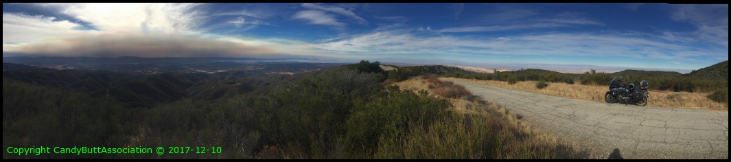
Today's route.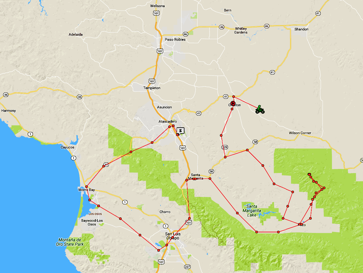
Well, that's it. I gotta go. See Ya. Thanks for riding along.
Theme by Danetsoft and Danang Probo Sayekti inspired by Maksimer